
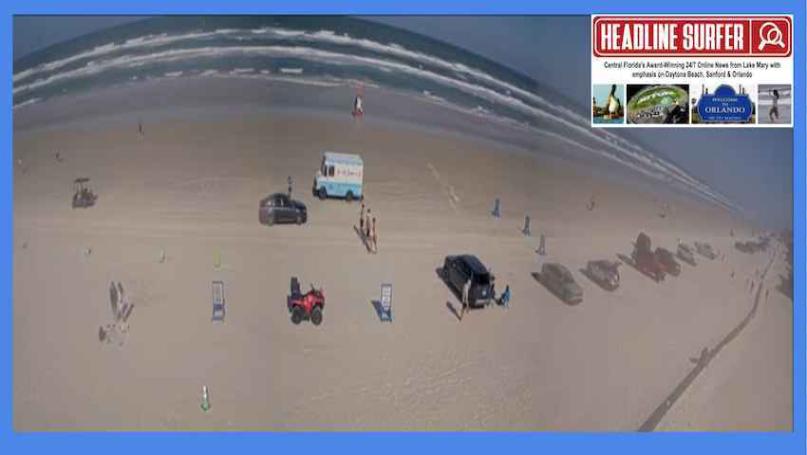
Photo for Headline Surfer / Screenshot from Flagler Avenue beach cam at 3:30 p.m. Friday, March 20, 2026, in New Smyrna Beach, Florida.
By SERA KING / Headline Surfer
ORLANDO, Fla. -- The weather for Central Florida is nearly picture-perfect with daytime highs through Thursday in the low-to-mid 80s and a 30 percent chance of showers.
Here is the National Weather Service weather forecast for Orland-Sanford-Daytona Beach across the Interstate 4 corridor:
This Afternoon: Sunny, with a high near 76. Northeast wind around 10 mph, with gusts as high as 20 mph.
Tonight: Patchy fog after 3 am. Otherwise, clear, with a low around 53. North northeast wind 5 to 10 mph becoming light after midnight.
Saturday: Patchy fog before 10 am. Otherwise, sunny, with a high near 81. Northwest wind around 5 mph.
Saturday Night: Patchy fog after 3 am. Otherwise, clear, with a low around 54. West wind around 5 mph.
Sunday: Patchy fog before 10 am. Otherwise, sunny, with a high near 85. West wind 5 to 10 mph.
Sunday Night: Clear, with a low around 56. West wind 5 to 10 mph.
Monday: Sunny, with a high near 85. West wind 5 to 10 mph.
Monday Night: Clear, with a low around 61. West wind 5 to 10 mph.
Tuesday: A 30 percent chance of showers and thunderstorms after 2 pm. Sunny, with a high near 85. Northwest wind 5 to 10 mph becoming northeast in the afternoon.
Tuesday Night: A 30 percent chance of showers and thunderstorms before 8 pm. Mostly cloudy, with a low around 63. East northeast wind 5 to 10 mph.
Wednesday: A 30 percent chance of showers and thunderstorms. Mostly sunny, with a high near 83. Northeast wind 5 to 10 mph.
Wednesday Night: A 30 percent chance of showers and thunderstorms. Partly cloudy, with a low around 62. Northeast wind 5 to 10 mph.
Thursday: Sunny, with a high near 84. East northeast wind 5 to 10 mph.
 About the Byline Writer: