
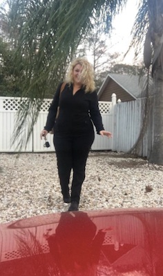
 Photo for Headline Surfer / Just before the dinner hour, Snjezana Kovacevic was leaving her Seminole County residence to go to work. The respiratory therapist missed the nasty weather that started after darkness set in with tornado watches turning into a warning, along with strong gusting winds and some tough rain bands. The map below illustrates tornado watches and warnings in Alabama, Florida and Georgia Sunday night.
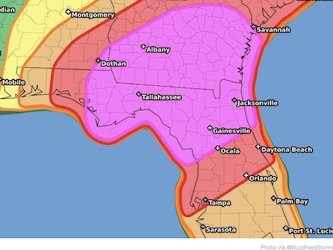
DAYTONA BEACH, Fla. -- Little did respiratory therapist Snjezana Kovacevic realize when she left her Winter Springs residence to drive to work for the overnight shift how fortunate she was to miss the ugly weather that swept east across Central Florida.
She even quipped on her on her way out the door on social media, "So nice outside, but got to go to work."
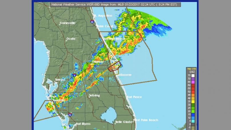
A tornado watch is in effect for the I-4 corridor -- from Daytona to Sanford and Orlando, according to the National Weather Center in Melbourne until 10 p.m.
There has been heavy rainfall with gusting winds and a lot of tree debris -- mostly small branches, but nothing major reported by law enforcement agencies across Volusia, Seminole and Orange counties.
The latest bulletin from the NWS warns of threat for severe storms well into the evening, though the rain and the winds have subsided for he most part approaching 9:30 p.m.
Here's the latest bulletin:
An organized squall line will continue to move rapidly east at around 50 mph. The line will move toward the I-4 corridor through 9 PM... shifting south across Brevard and Osceola counties between 8 and 11 PM...and toward the Treasure Coast and Okeechobee County between 10 PM and 1 AM. Thunderstorms in association with the squall line will be capable of producing damaging wind gusts in excess of 60 mph...hail up to an inch in diameter...as well as isolated tornadoes. Additional storms developing out ahead of the main squall line will also be capable of producing damaging winds and isolated tornadoes.

A Tornado Watch remains in effect for Lake...Volusia...Orange...Seminole...Osceola...and Brevard counties through 10 PM. If warnings are issued...head to a sturdy structure away from windows immediately. Also...ensure you have multiple ways to receive watch and warning information...including through NOAA Weather Radio...your smart phone...local TV outlets...or a computer.